Besides those of Userkaf and Niuserra, four more sun temples are documented in the historical sources of the Fifth Dynasty: moving chronologically these are the sun temples of Sahura, Neferirkara, Raneferef and Menkauhor. While the first, third and fourth of the above-mentioned temples are known only from a few textual sources, mostly private mastabas inscriptions and seal-impressions, the sun temple of Neferirkara is actually documented throughout the Fifth Dynasty, in particular in the Abusir Papyri in the context of the funerary cult of king Neferirkara and Raneferef. Based on the documentation of these papyri, this temple seems to have been running the cult of the sun god at least until the reign of Pepy I, representing therefore the most attested temple of its category.
Despite this crucial role in the contemporary textual sources and in the circuit of redistribution of offerings for the royal and divine cult, which is testified also by the repeated mentions on the royal annals (also known as the Palermo Stone), the sun temple of Neferirkara remains a complete enigma. Nobody knowns so far the location of this temple, whose existence has sometimes even been doubted by scholars who have argued that this temple never existed per se but was in fact the sun temple of Userkaf usurped and reused, with another name, by Neferirkara.
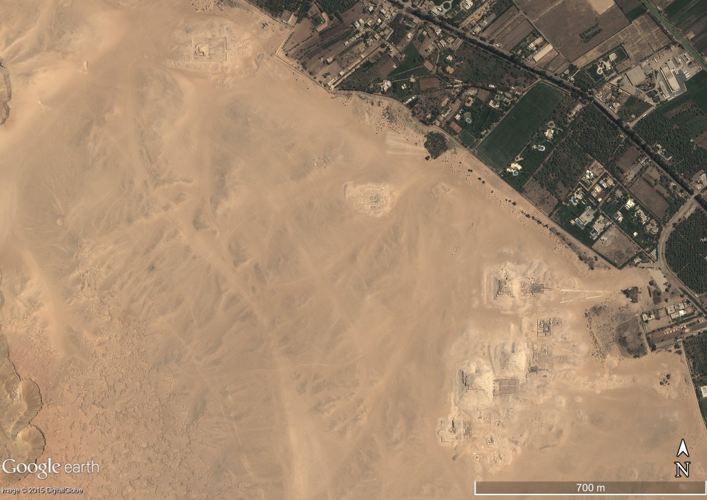
In this sense an important step of the current project aimed at the systemization of our knowledge of the history of Abu Ghurab is represented by the comprehensive topographical investigation of the site carried out since 2017. A geomagnetic survey of some portions of the never explored area between the two so far known sun temples was recently carried out in order to clarify the nature and geomorphological features of the area. This investigation has provided very interesting results and seems to point to the presence of archaeological structures (mostly in mud bricks) hidden below ground in the valley area halfway between the temples of Niuserra and Userkaf.
A Digital Elevation Model (DEM) of the site has also been prepared over the last years, based on the topographical and geodetic data acquired in the field combined with the most up-to-date satellite imagery of the area, including both a radar SAR image (Cosmo-Sky Med III 2015) and a panchromatic optical image (Quickbird 2018). This material, along with the archaeological data thus far acquired on the spot and the available historical maps/cartographic information of the site, has over time been combined in the GIS ArcMap environment and georeferenced in the WGS84-UTM36N geographical system.
This methodological approach based on the study of the environmental and natural features of the site, combined with the historical-archaeological data, is not only targeted at a better comprehension of the geomorphology of the area, but also aims at the understanding of the process of construction of the sacred landscape of Abu Ghurab, in both its spatial and chronological dynamics.